THE COMPLETE PHOTOMOD PROFESSIONAL COURSE

- Description
- Curriculum
- FAQ
- Reviews
PHOTOMOD is to provide the world-wide geospatial community with advanced and cost-effective digital photogrammetry solutions and services for creation of wide range of output products from the available remote sensing data.
Scope of activity
-Development of digital photogrammetric system PHOTOMOD and its promotion on the worldwide market
-Promotion of supplementary geoinformatics software products
-Satellite imagery distribution
-Photogrammetric production service.
Main PHOTOMOD advantages
– Complete image data processing workflow without third party products
– Wide range of supported sensors
– Full line of data output: DTMs, 3D vectors, orthoimages, digital maps
– Multiple data exchange formats
– Full photogrammetric operations automation with comprehensive quality control at all stages of data processing
– Flexible modular architecture
– High scalability to terabyte-sized mosaics
– Distributed network configurations for large projects implementation
– Wide choice of stereoviewing options: LCD glasses or screens, simple anaglyph glasses .
Main PHOTOMOD functions
-Aerial triangulation and block adjustment
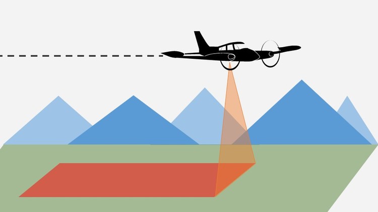
-Processing of aerial and satellite images
-Flexible strategy for DTM generation and editing
-Contour lines building, editing and smoothing
-3D feature extraction
-Orthomosaicking
-Digital maps creation and output
The course
PHOTOMOD UAS Montage Desktop
– Creating backup copies of projects
– Project packing
PHOTOMOD UAS Raster Converter. Preparing images
– Data formats
– Images conversion options
– Radiometric correction
PHOTOMOD UAS Montage Desktop. “W/O project” mode
– Project coordinate system
– Loading georeferenced data
– Converting vector objects and images from one coordinate system to another
PHOTOMOD UAS Montage Desktop. Creating a project of the type “Central projection”:
– Digital camera
– Specifying the project name
– Selection of the coordinate system
– Adding images to a resource project
PHOTOMOD UAS Montage Desktop. Main Toolbar
– Main window. Options
– Toolbars
PHOTOMOD GeoCalculator
– Coordinate systems and cartographic projections
– Tools for creating user-defined coordinate systems
PHOTOMOD UAS AT. Interior and relative orientation
– Import of exterior and interior orientation elements from metadata of digital cameras
– Interior orientation of images obtained from a digital camera passport
– Import of onboard elements of exterior orientation
– Direct georeferencing
– Automatic block splitting on strips
– Block adjustment using onboard elements of exterior orientation
– Manual measurement and editing of tie points
– Methods for automatic measurement of tie points
– Report on relative orientation. Visual control of results
– Measurement of control points
PHOTOMOD UAS Solver A. Network alignment
– Batch mode with aerotriangulation
– Methods for calculating the initial approximation
– Block adjustment methods
– Systematic errors compensation
– Network alignment using camera self-calibration tools
– Block adjustment report
PHOTOMOD UAS Montage Desktop. Stereo window
– Stereo modes
– Hotkeys
– Tools for controlling parallax
– Tools for managing the marker
– Creating and editing vector objects
PHOTOMOD UAS DTM. Creating a digital terrain model
– Variants of manual DEM creation
– Variants of automatic DEM creation
– Creation of digital terrain models:
– Pickets and structural lines
– TIN
– DEM
– Filtering of objects above the ground
– Editing of pickets and structural lines
– Construction of TIN and DEM in batch mode
– Working with contours
– Monitoring of the accuracy of DEM
– Calculation of volumes
– Import / Export
PHOTOMOD UAS dDSM. Dense DSM creation with SGM method
– Building dDSM
– Filtering dDSM:
– Buildings and vegetation filter;
– Slope-based filter
– Filling null cells
– Building 3d-point cloud in LAS format:
– LAS viewer
– Filtering 3d-points (LAS)
– Building True Ortho:
– Filling null cells
– Color balancing
PHOTOMOD UAS StereoDraw. Stereovectorization.
– Functional features of the module of creating and editing 3D objects.
– Using the classifier
– Operations with vector data
– Editing objects / vertices
– Group editing
– Working with layers
– Mode of automatic following on a relief
– Snapping
– Topological operations and topology control
– Exchange with GIS and CAD systems through popular formats. Working with attributes
– Semi-automatic function of digitizing roofs
PHOTOMOD UAS 3D-Mod. 3D-modeling
– 3D feature extraction with classifier
– Vectorization rules
– 3D-Mod tools
– Texture covering
– Animation recording
– Export of 3D-models to DXF, COLLADA (.dae) and other 3D-vector formats
PHOTOMOD Mosaic / GeoMosaic. Creating orthophotos
Mosaic project:
– Usage of various types of DEM for orthorectification
– Usage structural lines for orthorectification
– Select output raster formats
– Orthomosaic accuracy control
GeoMosaic Project:
– Loading of orthorectified images into the project
– Options for cutlines
– Automatic brightness adjustment tools
– Split into sheets
– Mosaic preview and building