Machine Learning in GIS : Understand the Theory and Practice

- Description
- Curriculum
- FAQ
- Reviews
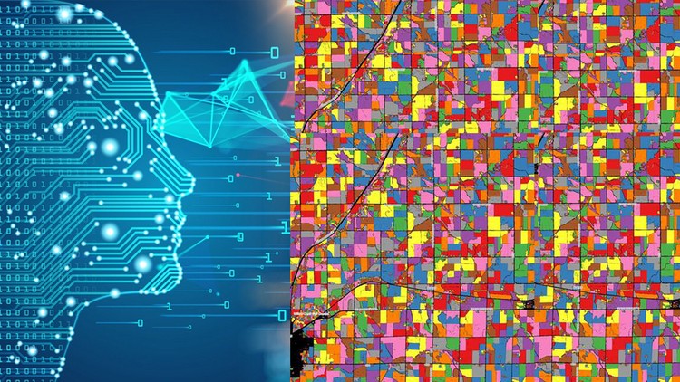
This course is designed to equip you with the theoretical and practical knowledge of Machine Learning as applied for geospatial analysis, namely Geographic Information Systems (GIS) and Remote Sensing. By the end of the course, you will feel confident and completely understand the Machine Learning applications in GIS technology and how to use Machine Learning algorithms for various geospatial tasks, such as land use and land cover mapping (classifications) and object-based image analysis (segmentation). This course will also prepare you for using GIS with open source and free software tools.
In the course, you will be able to apply such Machine Learning algorithms as Random Forest, Support Vector Machines and Decision Trees (and others) for classification of satellite imagery. On top of that, you will practice GIS by completing an entire GIS project by exploring the power of Machine Learning, cloud computing and Big Data analysis using Google Erath Engine for any geographic area in the world.
The course is ideal for professionals such as geographers, programmers, social scientists, geologists, and all other experts who need to use maps in their field and would like to learn more about Machine Learning in GIS. If you’re planning to undertake a task that requires to use a state of the art Machine Learning algorithms for creating, for instance, land cover and land use maps, this course will give you the confidence you need to understand and solve such geospatial problem.
One important part of the course is the practical exercises. You will be given some precise instructions and datasets to create maps based on Machine Learning algorithms using the QGIS software and Google Earth Engine.
In this course, I include downloadable practical materials that will teach you:
– How to install open source GIS (QGIS, OTB toolbox) software on your computer and correctly configure it
– QGIS software interface including its main components and plug-ins
– Learn how to classify satellite images with different machine learning algorithms (random forest, support vector machines, decision trees and so on) in QGIS
– Learn how to perform image segmentation in QGIS
– Learn how to prepare your first land cover map using the cloud computing Google Earth Engine Platform.
-
1
 Introduction
In this lecture, you will learn the main objectives of the course, its goals, the coarse structure and what topics are going to be covered in the course on Machine Learning in Geographic Information Systems (GIS) and Remote Sensing.
-
2
GIS explained
Explore the world of spatial analysis and cartography with geographic information systems (GIS). In this class, you will learn the basics of GIS, it's definition, applications and main data types.
-
3
Introduction to Remote Sensing: definition
In this class, you will learn a definition of Remote Sensing.
-
4
Introduction to Remote Sensing: applications
Explore the world of spatial analysis with Earth Observation (or Remote Sensing), In this class, you will learn the variety of the applications of Remote Sensing.
-
5
Computer Set up for GIS analysis and GIS software on the market
In this class, you will learn how to how to set up a GIS on your computer, specifically what you will need to run GIS analysis on your personal computer. We will also talk about software tools available for the GIS analysis. In the practical section of the course, you will learn how to correctly install and set up QGIS on your computer to get ready for GIS analysis.
-
6
QGIS version information
-
7
Installing QGIS
In this video, I will show you how to install QGIS on your computer.
-
8
Exploring QGIS interface
In this video, we will explore together the QGIS interface.
-
9
A power of QGIS - QGIS Plug-ins
In this video, I will show you how to install and manage QGIS plug-ins.
-
10
Lab: Sign In to Google Earth Engine
-
11
Introduction to Machine Learning
During this lecture, I’m going to explain what ML is, the types of machine learning algorithms and when you should use each of them.
-
12
On Machine Learning in GIS and Remote Sensing
During this video lecture, I’m going to explain the application of machine learning (ML) algorithms in GIS and Remote Sensing, types of ML applications in GIS and I will provide you with some practical examples.
-
13
OTB installation
In this video, you will learn how to install the OTB toolbox in your QGIS software. A detailed description of the procedure is provided in the resource section for this video.
-
14
Supervised and Unsupervised Learning (classification) in GIS and Remote Sensing
During this lecture, we are going to learn about image classification and ist types. Here we will talk about the supervised and unsupervised learning in the context of GIS and I also provide you with workable examples.
-
15
Lab: Unsupervised Image Classification in SCP
-
16
Land cover classification on the cloud using EO browser
-
17
Unsupervised (K-means) image analysis in QGIS
-
18
Random Forest supervised classification of Sentinel-2 image
In this video, you will learn to classify an image with a random forest algorithm through the Orfeo Toolbox (OTB). The data needed to complete this practical as well as the detailed guidance is provided in the resource section of this video.
-
19
Decision Trees classification of Sentinel-2 image
In this video, you will learn to classify an image with a Decision Tree algorithm through the Orfeo Toolbox (OTB). Detailed guidance is provided in the resource section of this video. The data needed to complete this practical was provided in Lecture 13 of this course.
-
20
Accuracy Assessment
IN this video lecture, you will learn how o perform accuracy assessment for a case of supervised classification.
-
21
 Support Vector Machine (SVM) supervised classification of the satellite imagery
-
24
EO browser for image download, spectral indices & land cover
-
25
Supervised classification with Google Earth Engine
In this video, you will learn to perform image classification in Google Earth Engine cloud-computing platform.
-
26
Import images and their visualization in Google Earth Engine
-
27
Unsupervised (K-means) image analysis in Google Earth Engine
-
28
Object detection in GIS
During this video lecture, we are going to continue exploring types of machine learning and today we are going to talk about object detection in GIS. I will provide you with an overview of how it works and I will demonstrate this with the practical examples.
-
29
Segmentation and object-based image analysis (OBIA)
In this video, I will introduce you to the term segmentation and object-based image analysis and explain to you the advantage of this approach as opposed to more traditional pixel-based image analysis.
-
30
Segmentation of high-resolution satellite image
In this video, you will learn to perform image segmentation in QGIS with the OTB toolbox following my instructions. The Sentinel 2 image needed to complete this practical was provided in Lecture 13 of this course.
-
31
On regression in GIS
-
32
ArcGIS Software for regression analysis
-
33
Lab: Use regression analysis in ArcGIS
-
34
Prediction in GIS and deep learning for Big Data Analysis
Prediction is an important part of GIS applications that use Machine Learning and AI. In this video lecture, I will introduce you to the notion of prediction modeling in GIS and equip you with the main types of prediction models used in GIS. Finally, we are going to talk about the new developments in AI and Machine Learning in GIS and Remote Sensing including deep learning for Big Data analysis.