Start with Google Earth Engine & Spatial Analysis #Beginners

- Description
- Curriculum
- FAQ
- Reviews
Start with Google Earth Engine & Spatial Analysis #Beginners
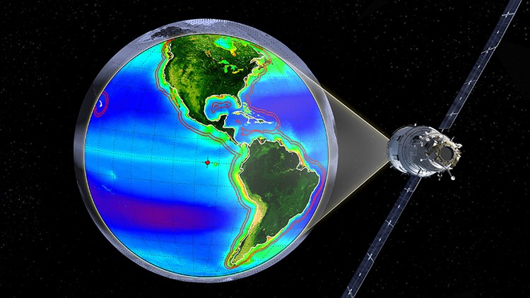
This course is designed to take users who use GIS for basic geospatial data/GIS/Remote Sensing analysis to perform geospatial analysis tasks with Big Data on the cloud! This course provides you with all the necessary knowledge to start with Remote Sensing and Geospatial analysis in Google Earth Engine.
We will start with a thorough introduction to the Earth Engine Platform, then move to the basics of satellite image and image analysis (which is essential to understand when you would like to work with Earth Engine) and then move to a comprehensive overview of JavaScript basics for spatial analysis. We will cover essential blocks to equip you with the background knowledge and get you started with your analysis on the cloud.
Please, note: this is an introductory course with the main focus on Google Earth Engine. I do explain some basics of Remote Sensing, but it is not the main topic of this course.
By the end of the course, you will feel confident and understand the basics of JavaScript for spatial analysis with Big Data on Google Earth Engine cloud. This course will also prepare you for using geospatial analysis with open source and free software tools.
-
6
 Interface of Google Earth Engine: Code Editor & Explorer
 -
7
JavaScript - get started!
-
8
Lab: Mapping and Reducing Collection - Landsat Example
-
9
Lab: Image Calculations - Create an image composite and calculate NDVI
-
10
Lab: How to map a function over an image collection
-
11
Getting started: your first task