Spatial Analysis & Geospatial Data Science in Python

- Description
- Curriculum
- FAQ
- Reviews
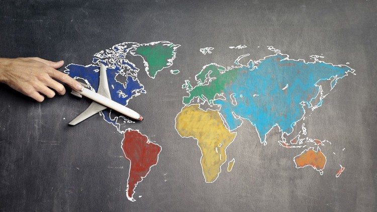
Geospatial data science is a subset of data science that focuses on spatial data and its unique techniques. In this, we are going to perform spatial analysis and trying to find insights from spatial data. In this course, we lay the foundation for a career in Geospatial Data Science. You will get hands-on Geopy, Plotly etc.. the workhorse of Geospatial data science Python libraries.
The topics covered in this course widely touch on some of the most used spatial technique in Geospatial data science. We will be learning how to read spatial data , manipulate and process spatial data using Pandas , and perform some spatial operations. A large portion of the course deals with spatial Visuals like Choropleth, Geographical Scatter plot, Geographical Heatmap, Markers, Geographical HeatMap. Each video contains a summary of the topic and a walkthrough with code examples that will help you learn more effectively.
Who this course is for:
- Students who want to become Data Scientist by show-case these Projects on his/her Resume..
- Students who like to take their first steps in the Geospatial data science career.
- Python users who are interested in Spatial Data Science.
- GIS users who are new to python and Jupyter notebooks for Geographic data analysis…
-
12
 Datasets & Resources
 -
13
 Analyse Average Temperature of country
 -
14
Analyse Existence of Global Warming
-
15
Visualise Average Temperature in Each Season
-
16
Analyse Trend In Temperatures for the Top Economies
-
17
Perform Spatial analysis on Average Temperature of USA States
-
18
Visualise Average temperature of major Indian Cities
-
19
Perform Spatial Analysis on Average temperature of major Indian Cities
-
22
Idea behind Choropleth Maps
-
23
Choropleth Map for Confirmed Covid-19 Cases
-
24
Choropleth Map of Particular continent
-
25
Idea behind Geographical Scatter plot
-
26
Geographical Scatter plot for Confirmed Covid-19 Cases
-
27
Plotting of Recovery using Choropleth & Geo Scatter plot
-
28
Plotting of Deaths using Choropleth & Geo Scatter plot
-
29
How to extract Latitudes & Longitudes of a location
-
30
Data Preparation For Spatial Analysis
-
31
Fetch Geographical Co-ordinates of a country
-
32
Idea behind Tileset,Raster & Vector Data
-
33
Use-case of Markers
-
34
creating a base map
-
35
Plot Confirmed Cases using Markers
-
36
Plotting of Recovered & Deaths using Markers