Practical basics of Geographic Information System in QGIS

- Description
- Curriculum
- FAQ
- Reviews
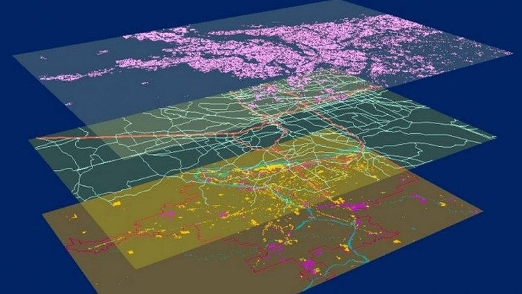
Geographic Information System in QGIS: Basic of GIS Analysis
I’m very excited that you have found my Fundamentals of practical GIS in the QGIS course. My course provides you with all the necessary theoretical knowledge and practical skills to implement PRACTICAL, GIS analysis starting with the basic concepts of GIS and equipping you with all the necessary knowledge and skills to implement your own independent GIS analysis in great QGIS open-source GIS software! I will also demonstrate to you how to implement GIS analyses in the latest long-lasting release version of open-source software QGIS 3.16, thus that you could immediately start using satellite images for your work and Remote Sensing projects.
This fundamental course is designed to equip you with theoretical and practical knowledge of applied GIS analysis. By the end of the course, you will:
- Understand the theory behind GIS analysis
- Feel confident and completely understand the basics of GIS and its main components
- Learn how to install and configure QGIS
- Learn to work with vector and raster data in QGIS as well as use various QGIS plug-ins and toolboxes (SAGA, OTB, SCP etc).
You will learn in QGIS how to perform core vector data analysis (vector overlay, table manipulations, vector editing, value extraction etc) and raster data analysis (raster overlay, distance operations, topographic variable calculation, raster calculator, filtering raster data etc), and produce GIS maps for your reports and much more. In this course, I will also teach you how to work with the popular open-source QGIS software and its great tools and plug-ins for GIS analysis.
The course is ideal for professionals such as geographers, programmers, social scientists, geologists, GIS & Remote Sensing, and all other experts who need to use maps in their field and would like to learn more about geospatial analysis and satellite Remote Sensing in QGIS.
One important part of the course is the practical exercises. You will be given some precise instructions, downloadable practical materials, scripts, and datasets to create maps and conduct geospatial analysis using the QGIS software.
-
17
 Reading in non-spatial type of data & converting it to vector data
 -
18
Reading in Excel Files & Joining Attribute Tables
-
19
Attribute Tables of vector data sets
-
20
Attribute Table Operations: Select Feautures
-
21
Attribute Table Operations: Compute and add geometry attributes (area, P)
-
22
Editing Attribute Tables
-
23
Adding new columns / Recalculating fields in attribute tables / Field Calculator
-
32
Theory on Raster Analysis: Local Operations
-
33
Adding raster layers to QGIS project
-
34
Compute Topographical variables with the DEM raster layer
-
35
Compute Topographical variables with the DEM raster layer: Slope & Aspect
-
36
Reclassify Rasters with SAGA Toolbox in QGIS
-
37
Resampling raster data in QGIS
-
38
Advance raster overlay operations with SAGA Toolbox
-
39
Filtering raster data: Low Pass filter