Get started with GIS & Remote Sensing in QGIS #Beginners

- Description
- Curriculum
- FAQ
- Reviews
Introduction to GIS and Remote Sensing for Spatial Analysis
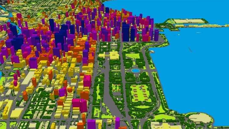
Are you intrigued by Geographic Information Systems (GIS) and Remote Sensing but don’t know where to begin? Welcome to our comprehensive course that provides a thorough introduction to these technologies, with a focus on open-source software and free spatial data portals. Discover the world of GIS and Remote Sensing and gain the confidence to utilize these tools effectively.
Course Highlights:
-
Introduction to GIS and Remote Sensing
-
Emphasis on open-source software and free spatial data portals
-
Understanding GIS components and stages of analysis
-
Desktop computer requirements for GIS work
-
Exploration of various geodata types and industries where GIS is applied
-
Step-by-step guidance for creating land cover/land use maps with Google Earth Engine
-
Downloadable practical materials
Course Overview:
This course serves as a gateway to the realms of GIS and Remote Sensing, offering a rapid understanding of these technologies. By the end of the course, you’ll have a solid grasp of GIS and Remote Sensing, as well as knowledge about where to obtain GIS software and geodata for map creation.
What You’ll Learn:
-
Fundamental concepts of GIS and Remote Sensing
-
Various open and free data sources and GIS/Remote Sensing software
-
Installing and configuring open-source GIS software on your computer
-
Navigating the QGIS software interface and its essential components and plug-ins
-
Creating your first GIS map using open-source tools in QGIS
-
Crafting land use/land cover maps using Google Earth Engine
Who Should Enroll:
This course caters to individuals across diverse fields, from agriculture and geology to mining, hydrology, forestry, and environmental sciences. Whether you’re a beginner or simply seeking to expand your geospatial knowledge, this course equips you with valuable insights into GIS and Remote Sensing.
BONUS Lecture: Gain access to a half-hour step-by-step video tutorial on creating land cover/land use maps in the cloud using Google Earth Engine and Machine Learning algorithms, even if you have no prior experience.
INCLUDED IN THE COURSE: Enroll today to access downloadable practical materials, detailed guidance, and the foundation to embark on your GIS and Remote Sensing journey!
-
4
 Definition of GIS
In this lecture, you will learn how to define GIS and its main components.
-
5
Main principles of GIS
In this lecture, you will learn the main components, stages and principles of GIS. You will learn how to apply those principles to plan your first GIS projects.
-
6
Definition of Remote Sensing
In this lecture, you will learn how to define Remote Sensing and its main components.
-
7
Lab: Sign In to Google Earth Engine
-
8
GIS software and your PC set up
In this course, you will learn how to how to set up a GIS on your computer, specifically what you will need to run GIS analysis on your personal computer. We will also talk about software tools available for the GIS analysis. In the practical section of the course, you will learn how to correctly install and set up QGIS on your computer to get ready for GIS analysis
-
9
QGIS version information
-
10
Lab: Installing QGIS
In this video, I will show you how to install QGIS on your computer.
-
11
A note on QGIS versions and it's plug-ins
-
12
QGIS interface: Toolbars
-
13
Lab: A power of QGIS - QGIS Plug-ins
In this video, I will show you how to install and manage QGIS plug-ins.
-
14
Lab: Your First GIS Map in QGIS
In this video, I will show you step-by-step how to do your first GIS map in QGIS. With the data provided by me, you can also practice and repeat all the steps by yourself.
-
15
Open Source Remote Sensing software
In this section, we will talk about software tools available for the Remote Sensing analysis.