Core GIS analysis in QGIS: learn conduct the GIS projects

- Description
- Curriculum
- FAQ
- Reviews
GIS & Spatial Analysis in the latest QGIS – Master Geographic Information Systems (GIS) via GIS-based project analysis
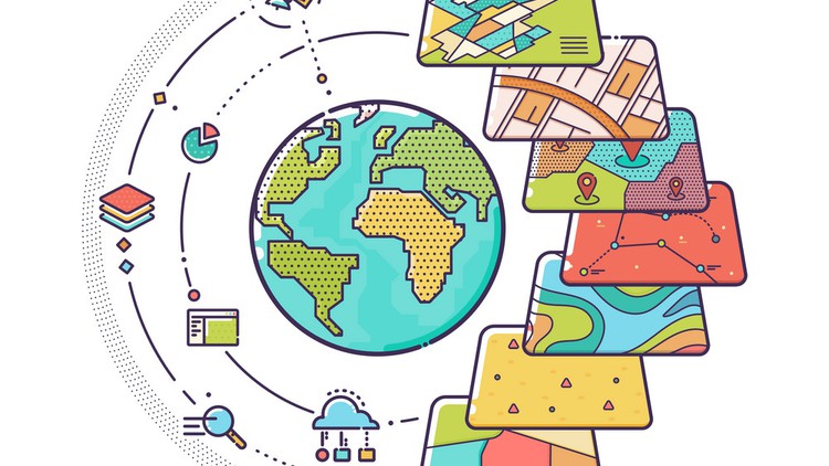
This course provides an introduction to GIS (geographic information systems) and also introduces students to Remote Sensing in a project-oriented way. This course is based on the newest version of the open-source QGIS software available for free to get started with GIS, Remote Sensing, and geospatial data analysis. My practical geospatial analysis course will provide you with an understanding of GIS in a very short time. By the end of the course, you will feel confident and completely understand the GIS and Remote Sensing technology, learn by practice how to solve geospatial projects and how to compose beautiful maps using your data and open street map data.
Unlike other courses, my course is based on the latest version of QGIS (long-lasting release) which is essential to learn rather than spending time and money on outdated courses based on previous software releases.
- We will start by learning about QGIS open-source software, its installation, interface and plug-ins.
- This will follow with a practical and concise introduction to the GIS analysis and data type, followed by the Remote Sensing introductory section in QGIS.
- Then, I will introduce you to practical and real-life GIS projects. By using examples of this project, I will show step-by-step how to conduct GIS project analysis (from basics to advanced), while you will be also developing skills required to understand the geospatial project analysis approach. This is of great value as it will provide you with a practical understanding of the geospatial approach that is needed to solve GIS-related project-oriented tasks, for instance, in your thesis or work.
- Finally, you will learn how to visualize your GIS project results in terms of the maps.
This course will prepare the students for the basics of using GIS and Remote Sensing with open-source and free software tools. We will go over various industries where GIS and Remote Sensing can be used including agriculture, geology, mining, hydrology, forestry, environmental, and many more! It is hands-on, practical training, therefore we will only spend a brief amount of time discussing theoretical ideas related to spatial data analysis, but rather we will work practically with real-world data.
So, don’t wait and enrol now to become GIS professional tomorrow!
-
21
 Introduction to the section and analysis
 -
22
Lab: Create a new project from an existing one
-
23
Lab: Select vector features by locations
-
24
Lab: Clipping vector files & Tidy up your workspace
-
25
Lab: Workinng with attribute tables
-
26
Lab: Vector Analysis: Mapping attributes of vector file
-
27
Lab: Vector Analysis: Plot coordinate data from a text file in QGIS
-
28
Section Introduction
-
29
Lab: Vector Analysis: Running the basics statistics on the vector data
-
30
Lab Vector Analysis: Count points in polygon & Create new shape file
-
31
Lab Visualization of GIS data: Copying Styles from one GIS layer to another one
-
32
Lab Vector Analysis: Advanced Query on Attribute Table using various operators
-
33
Lab Vector Analysis: Buffer Zones
-
34
Lab Vector Analysis: Intersection of vector files
-
35
Results Interpretation
-
36
Results Interpretation via link with Open Street Map