ArcGIS Skills For: Tasks, Projects & Freelance work

- Description
- Curriculum
- FAQ
- Reviews
This course is for those who have learned the basics of ArcGIS and want to enhance their skills further. If you are a complete beginner don’t worry, I have another course called: “ArcGIS: From beginner to pro” which covers all the basics you need to start your work with ArcGIS, and that course complements this course perfectly.
List of Sections and Lessons:
Introduction
1. Introduction
Convert Coordinate System of shapefile:
1. How to convert the coordinate system
2. Learning Outcome
DEM & Contour Project:
1. Make a DEM & Contour of Nepal
2. Contour Mapmaking
3. Quick DEM resources
4. Making Contour Map Method-2
5. Comparison of the two methods
6. Convert contour shapefile to AutoCAD file
7. Convert AutoCAD file with labels
8. Learning Outcome
Choropleth Mapping Project
1. How to do choropleth mapping
2. Replicating a freelance market gig
3. Learning Outcome
Tasks:
1. Join Excel data to attribute table
2. Making a population dot density map
3. Calculate coordinates of schools in Sonargaon
4. Add date, time, and coordinate system to map
5. Copying shapefile without attribute
6. Copying shapefile without attribute part-2
7. Raster analysis problem and solution
Rainfall Pie Chart Map:
1. Downloading data
2. Adding CSV file to attribute table
3. Precipitation pie chart mapping
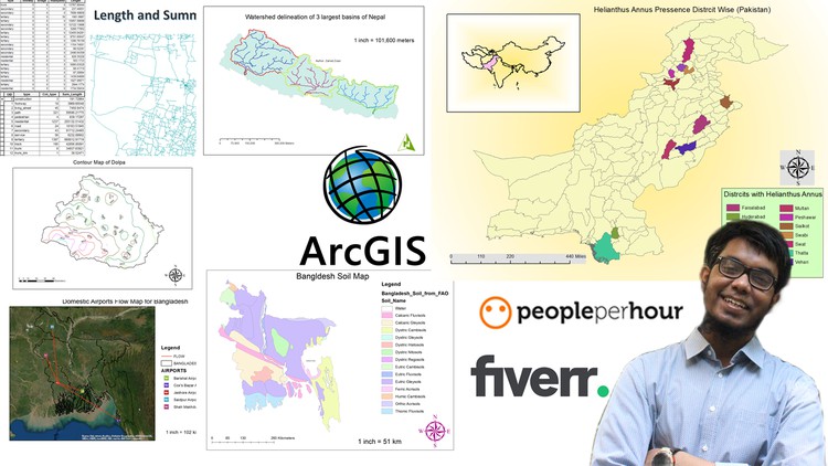
Watershed delineation Project:
1. Project Introduction
2. Downloading data
3. Watershed delineation part-1
4. Watershed delineation part-2
5. Map Making
6. Some common presentation methods
7. Extra Support
Flow Map Project:
1. Project overview
2. Flow map part-1
3. Flow map part-2
4. Final Map
Tasks & Tips:
1. Saving Coordinate system to favorites
2. Benefit of saving coordinate system
3. Interlocking shapefile creating tip
4. Change decimal places displayed in the attribute table
5. Add multiple labels
6. Add units to labels
Digitizing Project:
1. Overview of Project
2. Georeferencing
3. Creating features and attribute fields
4. Polygon making
5. Roadmaking
6. Point making
7. Final Mapping for delivery
Road calculation Project:
1. Overview of Project
2. Changing the coordinate system
3. Calculating the length of roads
4. Making individual type road shapefile
5. Checking results using statistics
Rainfall deviation Map:
1. Overview
2. Rainfall deviation part-1
3. Rainfall deviation part-2
4. Rainfall deviation part-3
Soil Map Preparation:
1. Overview
2. Soil Map part-1
3. Soil Map part-2
4. Soil Map part-3
5. Soil Map part-4
Stream Order:
1. Overview
2. Stream order part-1
3. Stream order part-2
4. Stream order part-3
-
15
 Join Excel data to Attribute Table
 -
16
making a population dot density map
-
17
Calculate coordinates of schools in Sonargaon
-
18
Add date, time and coordinate system name using dynamic text
-
19
Copying shapefile without attribute
-
20
Copying shapefile without attribute part-2
-
21
Raster analysis problem and solution